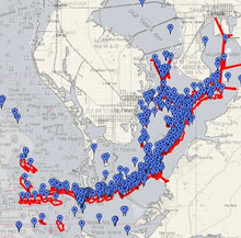
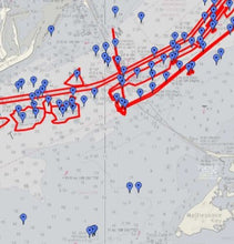
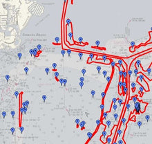
The Tampa Bay Waypoints fishing chart contains 456 GPS waypoints, from downtown Tampa to Bradenton, including Anna Maria, St Pete Beach and Treasure Island. The coverage includes Inshore Tampa Bay, St Pete beaches, and a couple nearshore reefs off of Anna Maria. The waypoints include reefs, barges, pipes, holes, ridges and other features.
For Simrad, Lowrance, mobile device, and computer, the chart also contains tens of thousands of lines used to trace reefs, barges, pipes, holes, ridges, and more. The lines will not display on a Garmin, Raymarine, or Humminbird.
Depths on this preview chart may be displayed in fathoms (6 feet), meters, or feet depending on your zoom level.


