This Item Comes with FAST FREE 1-3 Day Tracked Shipping!!!
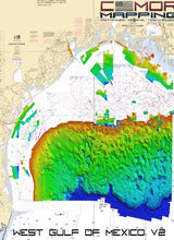
The CMOR Mapping West Gulf of Mexico v2 3D shaded relief chart extends from the South Texas border through Caillou Bay (West Louisiana). This massive update includes new nearshore, mid drop, and deep drop throughout the chart, as well as coverage for Galveston Bay.
CMOR Mapping West Gulf of Mexico v2 chart offers depth ranges from 5’ to over 12,000’ deep beyond the canyons and features a significant expansion of natural bottom, wrecks, as well as new fishing hotspots containing unbeatable coverage and resolution for targeting everything from nearshore snapper to pelagics, and daytime swordfish.
All CMOR Cards with the exception of Furuno are provided on Micro SD cards with a standard SD adapter included.
Furuno customers: Instead of a physical card, you will receive an unlock code to access CMOR imagery on your device. Your NavNet system ID is required in order to generate the unlock code. Also, please note that West Gulf of Mexico V2 is being processed and will be available soon. The previous version, West Gulf of Mexico v1, is currently available for download.
Featured spots include:
-
Deep water coverage from approximately 250’- 12,000’ throughout the West Gulf of Mexico
-
270 square-mile nearshore area offshore of Laguna Madre
-
The Texas “Hilltops”
-
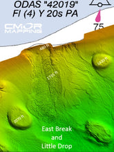
East Break and Little Drop
-
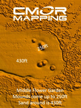
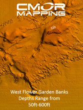
West Flower Garden Banks
-
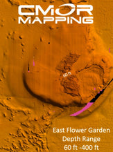
East Flower Garden Banks
-
Shelf Banks and Domes-
Ewing Bank Adeline Bank Patterson Bank
Berwick Bank Alaminos Bank Verdunville Bank
Jackula Bank Alderdice Bank Sweet Bank
Pheger Bank Musogee Bank Tresslar Bank
Sidner Bank Rezak Bank Bryant Bank
Bouma Bank McGrail Bank Elvers Bank
Geyer Bank Beight Bank Geyer Bank
Bright Bank Ramkin Bank MacNeil Bank
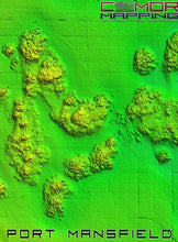
Alamo Bank Calhoun Dome Mansfield Dome
Price Spur Nueces Dome Kleberg Dome
Willacy Dome Appelbaum Bank
-
Most deep water Basins, Ridges, escarpments, and Domes in the Western Gulf
-
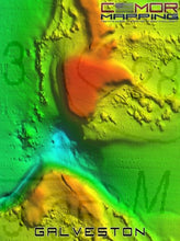
Galveston Bay
-
Hopper Barge
-
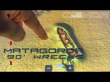
Matagorda Ships
-
Mustang Island
-
North Padre Island
-
Lonestar Reef
-
The Kraken
NOAA Charts 411 and 11006 are included in the background.
All CMOR Cards with the exception of Furuno are provided on Micro SD cards with a standard SD adapter included.
CMOR CARDS ARE COMPATIBLE WITH THE FOLLOWING DEVICES:
Lowrance
-
HDS LIVE series
-
HDS Gen1 series
-
HDS Gen2 series (both keypad and touchscreen)
-
HDS Gen3 series
-
HDS Carbon
-
Elite HDI series
-
Elite CHIRP series
-
Elite Ti series
Simrad
-
NSS
-
NSS evo2
-
NSS evo3
-
NSS evo3 S
-
NSE
-
NSO
-
NSO evo2
-
NSO evo3
-
NSO evo3 S
-
GO XSE
-
GO XSR
Mercury VesselView
-
502
-
702
-
703
-
903
B&G
-
Zeus
-
Zeus Touch
-
Zeus2
-
Zeus3
-
Vulcan


