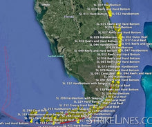
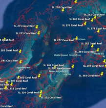
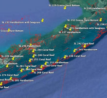
The South Florida and Keys Reefs fishing chart contains 421 GPS waypoints, from north of West Palm Beach down to Key West and the Dry Tortugas. The coverage includes over 100 GPS waypoints from West Palm Beach to Miami, and well over 300 potential fishing spots from south of Miami down to the Florida Keys, extending to include Dry Tortugas. The waypoints include hard bottom patches, coral reefs, coral heads, limestone reefs, and other features. No matter where you fish along South Florida’s coastal waters this waypoints chart provides plenty of options to choose from.
For Simrad, Lowrance, mobile device, and computer, the chart also contains tens of thousands of lines used to trace coral heads, reefs, hard bottom areas, and more. The lines will not display on a Garmin, Raymarine, or Humminbird.
Depths on this preview chart may be displayed in fathoms (6 feet), meters, or feet depending on your zoom level.


